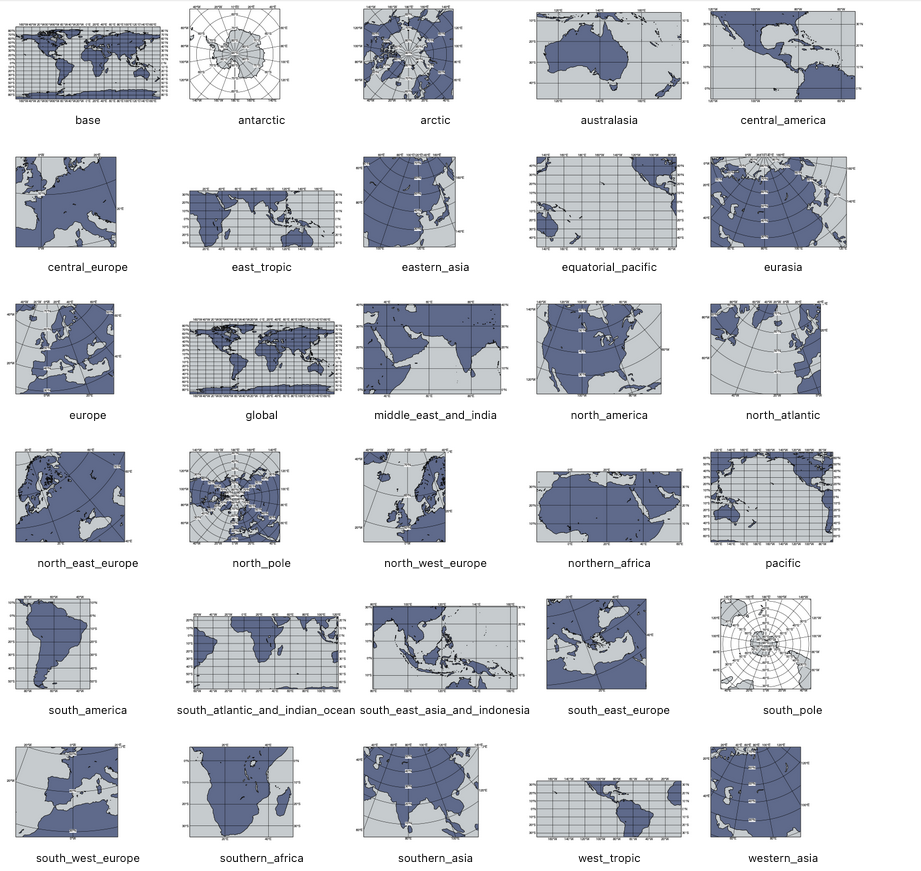
map_area_gallery
- map_area_gallery()
New in metview-python version 1.8.0
Generates a gallery of the built-in map areas in a Jupyter notebook.
The list of available areas depends on the actual style configuration. By default, when no custom style configuration is loaded, the area list comprises:
the core areas available under the
area_nameparameter ingeoview()the area called “base”, which is the same as the “global” core area
All the area names can be used with
make_geoview()to create map-based views, e.g.:view = mv.make_geoview(area="pacific")
Additionally, the core areas (these are highlighted in orange in the gallery) can be used in
geoview()too, e.g.:view = mv.geoview(area_mode="user", area_name="central_europe")
The default map area gallery looks like this: