Version 5.19 Updates
Version 5.19.2
Externally released on 2023-07-11
Installed as part of ecmwf-toolbox/2023.07.0.0 (Atos HPC)
At ECMWF:
Fixes:
UI: fixed an issue that could cause the Process Monitor to crash
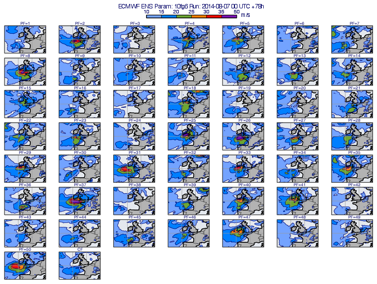
mhovmoellerview(): improved error message when failing to find matching LNSP fields to ML to PL conversionread(): fixed a small memory leak
Version 5.19.1
Externally released on 2023-05-17
Installed as part of ecmwf-toolbox/2023.04.1.0 (Atos HPC)
At ECMWF:
Regrid:
Added parameters to
regrid()to control whether geography limits are encoded as decimals or fractions
Fixes:
uPlot: fixed an issue when zooming in the Geography Tool crashed
uPlot: fixed an issue when cursor data showed the latitude/longitude coordinates in the wrong order for data layers
nearest_gripoints(): fixed an issue when did not get any valid results for GRIB data on a reduced Gaussian grid on a subarea crossing the Greenwich meridianlongitudes(): fixed an issue when inaccurate values returned for GRIB data on a reduced Gaussian grid on a subareavalid_date()andbase_date(): fixed memory leak
Version 5.19.0
Externally released on 2023-04-04
Installed as part of ecmwf-toolbox/2023.04.0.0 (Atos HPC)
At ECMWF:
Plot window
added location label to the bottom right corner (in the statusbar) displaying the coordinates at the mouse cursor position. It can be shown/hidden by using the Show location label action in the View menu. Visible by default.
added new action Reset cursor data to the Tools menu to move back the cursor data to the middle of the view. It is particularly useful when the cursor data is accidentally moved out of the view and we cannot interact with it any more.
changed the order how the current coordinates are displayed in the cursor data in geographical views. In the new version latitude comes first followed by longitude.
Macro/Python
surrounding_points_indexes(): fixed issue when wrong results were generated when target longitude was less than 0 for reduced Gaussian grids in GRIB2 data
User interface
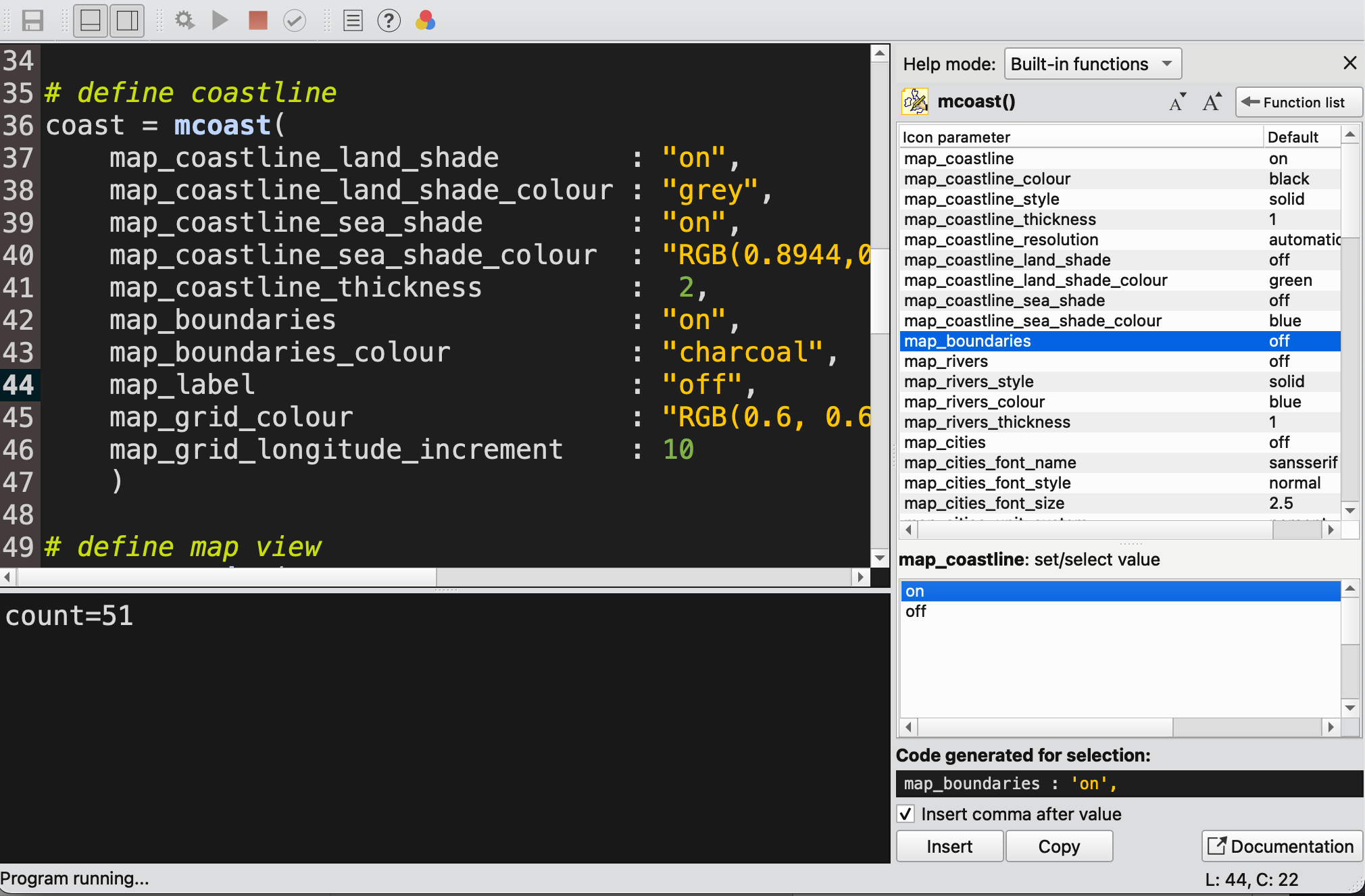
Macro Editor: improved vertical and horizontal space usage in help sidebar. The sidebar now stretches along the full vertical extent and its minimum horizontal extent is significantly reduced. As a further improvement the size of the lower and upper part of the parameter selector (available only for icon functions in the sidebar) can now be controlled with a vertical splitter.
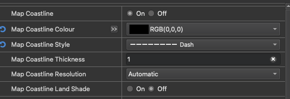
Icon Editors: line style parameters now show preview pixmaps of the available styles
Icon Editors: fixed issue when widgets were misaligned in weather symbol editors
Icon Drawers: fixed issue when cannot add icons to newly created drawers
Cross section
Fixed issue when no data was generated when
vertical_scalingwas set to “log” andlevel_selection_typewas set to “count” inmcross_sect()ormxsectview()
New Gallery Examples