Version 5.6 Updates
Version 5.6.1
Externally released on 2019-08-07
Became metview/new at ECMWF on 2019-08-07 (Linux desktops, ecgate, lxc, lxop)
At ECMWF:
Fixes:
fixed issue in the Cross Section Data and Cross Section View icons where, given 3-dimensional wind components, the sign of the vertical wind component computed when W Wind Scaling Factor Mode is Compute was the negative of what it should be
fixed issue in the Cross Section Data and Cross Section View icons where , given 3-dimensional wind components and multiple time steps, multiple wind arrows were plotted at each location
fixed issue in the Cross Section Data, Cross Section View, Average Data and Average View icons where, given input GRIB data containing multiple time steps, the last time step is visualised by default; now it is the first time step
fixed crash in the Cross Section Data and Cross Section View icons where both wind and non-wind fields are supplied
fixed crash when visualising XY matrix vectors from NetCDF data
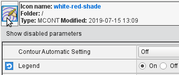
fixed issue in the Contouring editor where the palette selector was empty
fixed issue in the Macro/Python function
nearest_gridpoint()where a wrong result could be returned if the field is a sub-area of a Gaussian grid with longitudes encoded as 0 → 360, but the requested point has longitude of less than 0fixed issue where grid interpolation failed with GRIB data that has no levelType key (when built with ecCodes 2.13.1)
fixed crash in the BUFR Examiner when searching in the Descriptors tab
fixed issue in the BUFR Examiner where search did not work in regexp mode
fixed issue where the frame list in the Display Window could not be sorted
fixed issue in the Display Window where a visdef icon displayed in the Layer Management tab could not be saved back to disk if the visdef had been generated by a Macro or Python call
fixed issue in the Display Window where a layer icon could disappear after being edited
fixed issue where a Fortran compiler was required in order to build Metview, even if no Fortran code is compiled
Version 5.6.0
Externally released on 2019-07-15
Became metview/new at ECMWF on 2019-07-15 (Linux desktops, ecgate, lxc, lxop)
At ECMWF:
Desktop:
new way to drop icons - when an icon editor is open, the icon shown in the top-left is now directly draggable, making workflows more efficient; for instance, open a Contouring icon editor, make some changes and drag the editor’s icon directly in the plot window. Icons can also be dropped into a Metview desktop (a copy of the icon will be made), or indeed anywhere that an icon can normally be dropped. The icon is highlighted when the mouse is over it. When dragged and dropped, any changes made in the editor are automatically saved.
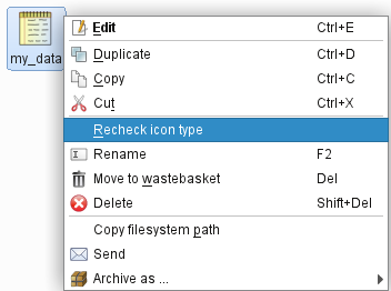
files that appear as NOTES or BINARY icons have a new context menu action “Recheck icon type” in case they have been mis-categorised
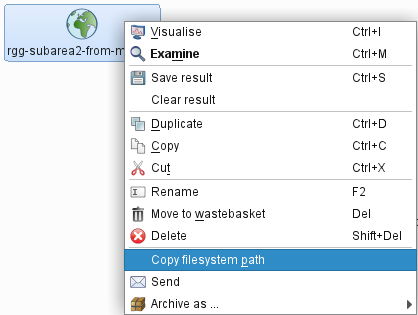
new context menu item on icons “copy filesystem path” to put the file path into the clipboard
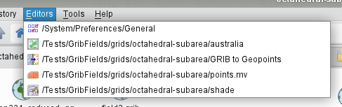
new menu “Editors”, which lists the open icon editors and raises them if selected
double-clicking on a Macro or Python icon that is already being edited will now raise the editor
improved responsiveness when detecting newly created files and displaying them on the desktop
bookmarks look and feel has been improved
folder history now records changes between tabs
added new default action to bookmarks to lookup folders in tab list
new tab menu item to close duplicated tabs
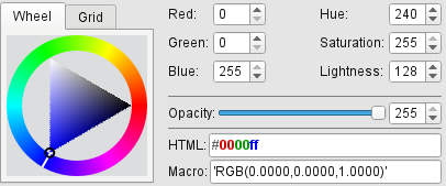
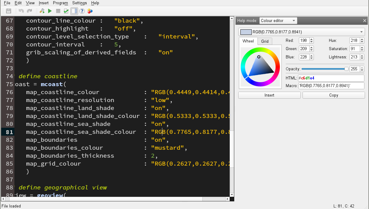
the colour editor widget in icon editors now has syntax highlighting in the HTML component:
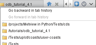
added control for navigating the tab history:
the breadcrumbs subfolder menu is now dynamically updated if the folder structure changes
fixed issue where in some circumstances the save action on icons did not generate a file
fixed crash when deleting a folder that has just been copied
fixed crash in Grib Examiner on some platforms (ecCodes must be built with -DENABLE_ECCODES_THREADS=ON)
Plotting:
cursor data now works for rotated lat/lon GRIB fields (when linked with ecCodes 2.13.0)
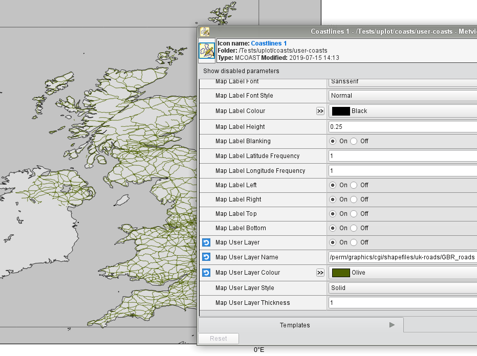
added support for user-supplied shapefiles to be used in conjunction with the Coastlines icon. New parameters are Map User Layer, Map User Layer Name, Map User Layer Style, Map User Layer Colour and Map User Layer Thickness:
the NetCDF Visualiser icon now has two new modes for netcdf_plot_type: geo_matrix_vectors and xy_matrix_vectors for plotting matrices of wind/wave vector components
new parameter available in the Wind Plotting icon: wind_arrow_fixed_velocity, which can be used to plot wind arrows with a constant instead of computed velocity
new parameter in the Contouring icon, Grib Intepolation Regular Resolution, to change the plotting resolution, in degrees, of GRIB fields encoded in space_view projection
fixed issue where plotting of ODB-1 data failed
fixed issue where missing values were not ignored when plotting vector data with geomatrix
fixed issue where wind geomatrix was not plotted in Mercator projection west of 0 meridian
fixed a crash when enable cursor data for plot with netcdf geomatrix_vectors
fixed issue where Symbol Plotting and some other visual definition icons did not appear in the Layers sidebar
GRIB Filter
fixed issue where filtering the result of another GRIB filter left temporary files behind
BUFR:
ObsFilter can now output to NCOLS formatted geopoints to store multiple value columns
ObsFilter now automatically adds the station id to the output when the output format is NCOLS geopoints
ObsFilter has changed its default missing value indicator to geo_missing_value instead of zero
Macro/Python:
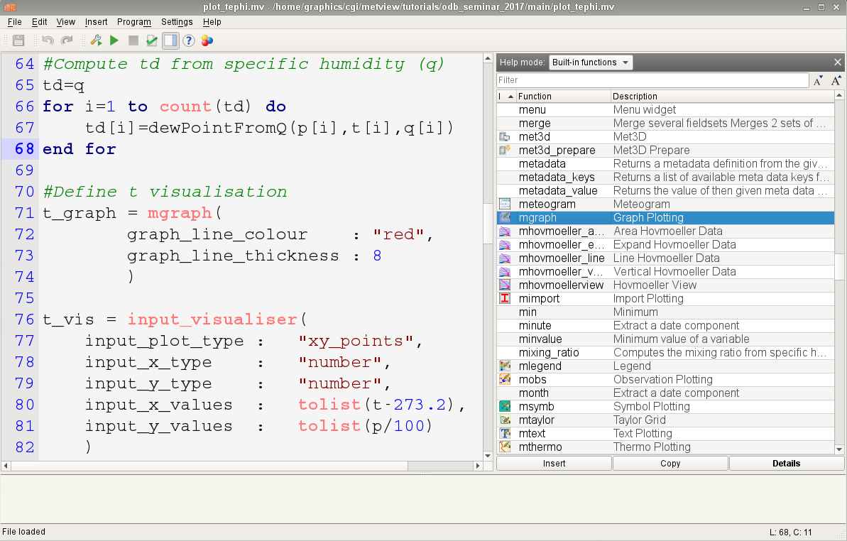
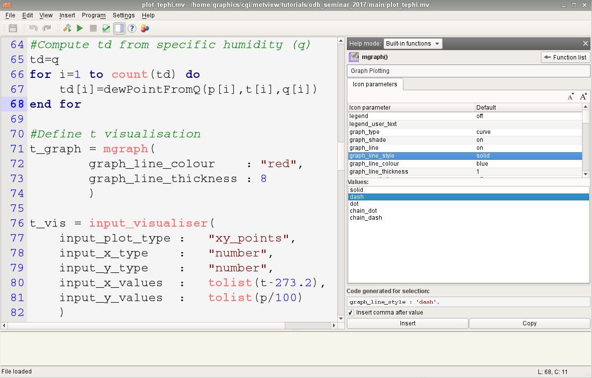
Code Editor now has much improved built-in help. Press F1 for a function list, or to get help for the function under the cursor. Press F2 for a colour helper.
F1 for function list
F1 for specific function help
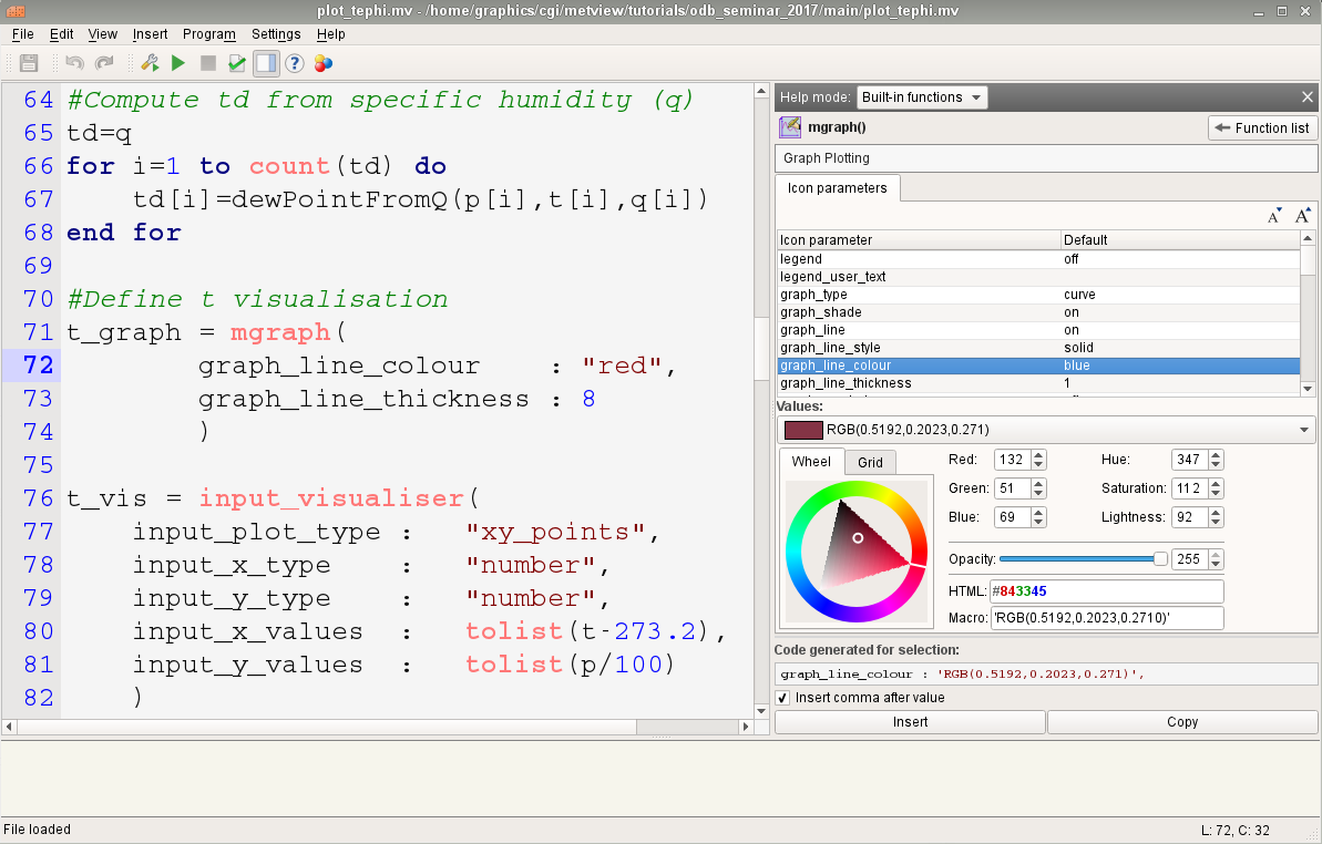
Help for colour-related parameters
F2 for standalone colour helper
new function: grid_cell_area(fieldset) - returns a fieldset whose values are the areas, in square meters, of each cell
new function: integral(fieldset) - computes the surface integral of each field in a fieldset
function
surrounding_points_indexes()now handles the case where the field is a reduced Gaussian grid and the input location is at the North or South pole, beyond the most extreme row of points. In this case, there will be a ‘circle’ of surrounding points, and all of these indexes are returned.fixed issue where
interpolate()gave wrong result for lat=0 lon=360 on a global latlon gridfixed issue where
nearest_gridpoint()crashed when the input was a tiny portion of a reduced Gaussian gridnearest_gridpoint()andnearest_gridpoint_info()now have an option ‘valid’ to return the nearest non missing valuev = nearest_gridpoint(f, [48, 16], 'valid') v = nearest_gridpoint_info(f, [48, 16], 'valid')
added the possibility to batch process points using the
surrounding_points_indexes()function. Vectors of latitudes and longitudes can be supplied instead of a single point, making the computations much fasteradded option to
surrounding_points_indexes(), ‘all’, to also collect missing value pointssurrounding_points_indexes(f, inlat, inlon, 'all')
when running a macro, the list data type is significantly more efficient than it was previously, and a memory leak when appending to a list was fixed
allow
create_geo()to accept arbitrary column names when creating an NCOLS formatted geopoints variable. E.g.g = create_geo(type: 'ncols', latitudes: |4, 5, 6|, longitudes: |2.3, 1.1, 6.5|, levels: 850, # all rows will have 850 as their level times: nil, stnids: ['aberdeen', 'aviemore', 'edinburgh'], temp: |273.15, 269.78, 281.45|, precip: [4, 5, 1], # lists also work, but are less efficient speed: |2, 3, 5| )
new geopoints function
times()to return a vector of times encoded in the geopointsthe geopoints
stnids()function now returns a nil if there is no station id for that pointfixed issue where an empty NCOLS geopoints variable did not expose its stnid column
fixed issue where geopoints stnids were not correctly returned via gpt[‘stnid’]
the mvl_geocircle function can now accept a list of different radii for each quadrant - documentation coming!
fixed issue in the
percentile()function, where the wrong results could be produced depending on the inputfixed potential bug in
thickness()andpressure()functionsfixed issue where the merging of NCOLS-formatted geopoints lost the value column names
fixed issue where filtering NCOLS-formatted geopoints lost the stnids
fixed issue where extracting a single element of an NCOLS-formatted geopoints variable did not return all the value columns
fixed issue where extracting a single element of a geopoints variable returned the main value in the value2 element
the Code Editor now has a Stop button to make it easier to cancel a running script
the Code Editor has redesigned button icons
Cross section:
added new option called compute to W Wind Scaling Factor Mode to compute the vertical velocity in m/s from pressure velocity for wind cross sections
fixed issues when computing and plotting cross sections from wind data. The documentation has also been revised for both Cross Section View and Cross Section Data.
fixed issue when computing a cross section that crosses the zero meridian when the GRIB scanning mode is South to North
Single Column Model:
new output modes in the SCM Visualiser icon: PNG, PDF
FLEXPART
fixed crash in post processing when converting FLEXPART output to GRIB
macOs:
various improvements for working within the macOs environment
Startup:
-nocreatehome flag uses existing home directory if it exists
Build:
removed the dependency on the legacy Netcdf4 C++ interface
running the test suite in parallel on a fresh system has been fixed
rename CMake option ENABLE_FORTRAN to ENABLE_METVIEW_FORTRAN
now requires a minimum of CMake 3.6
Documentation:
added landing pages so as to group the documentation per data format
Gallery:
various new examples added
- height
0.10823in